01
Data Collection
Gathering comprehensive data from sensors, public transit feeds, and GPS devices.
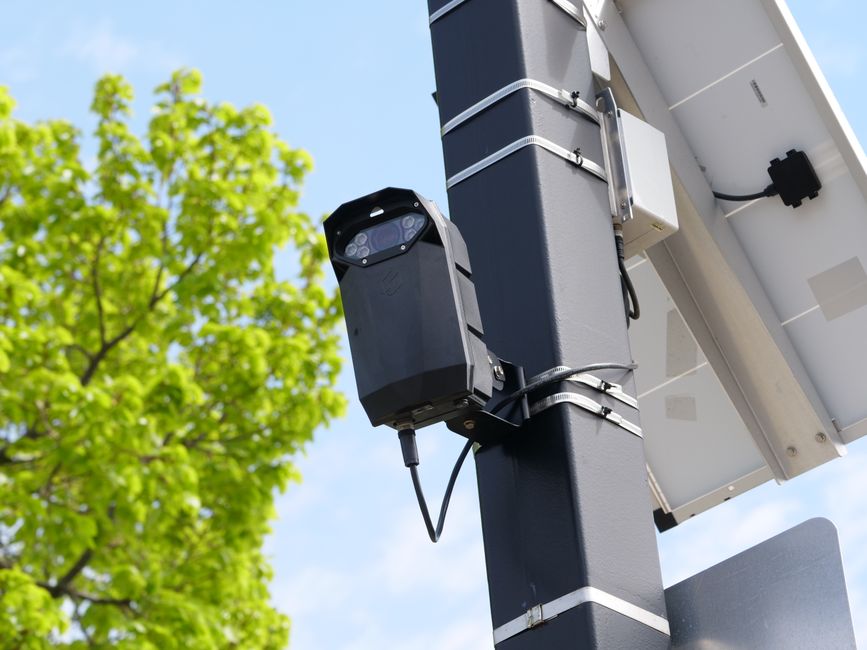
UrbanFlow Transit is dedicated to improving urban mobility through systematic analysis and planning. Our methodology centres on understanding traffic flows, identifying congestion points, and assessing the potential of smart transport technologies. We collect and process data from diverse sources, including vehicle sensors, mobile devices, and public transport schedules. Using advanced analytical tools, we model various scenarios to evaluate route efficiency and environmental impact. Our work is transparent and collaborative, providing city planners and commuters with clear insights into transportation systems. This approach allows for continuous refinement of strategies to address evolving urban needs.
Gathering comprehensive data from sensors, public transit feeds, and GPS devices.
Using algorithms to map traffic patterns and identify congestion bottlenecks.
Testing new route options and smart technologies within simulated environments.
Implementing selected changes gradually while continuously monitoring key performance metrics.
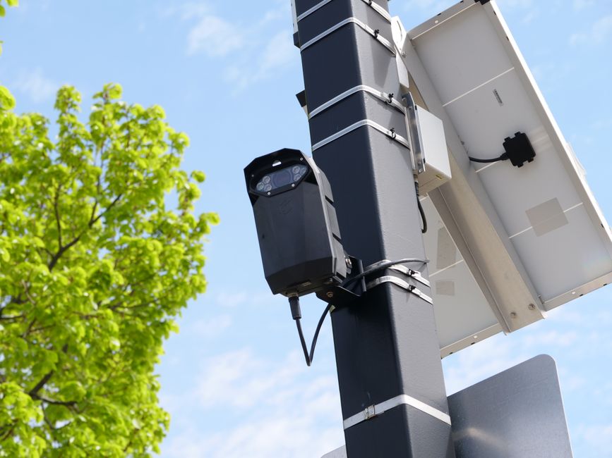
UrbanFlow Transit leverages smart transport technologies to enhance the planning process. Our approach integrates data analytics, machine learning, and simulation to create dynamic models of urban mobility. We work closely with local authorities and transport operators to ensure that the insights we provide are actionable and aligned with community needs. By exploring various 'what-if' scenarios, we help stakeholders understand the potential impacts of different strategies. Our method is iterative, allowing for adjustments based on real-world feedback. This ensures that our planning remains relevant and effective in diverse urban contexts. The goal is to provide a robust framework for decision-making.